PROCESS OF WORK
PROCESS OF WORK
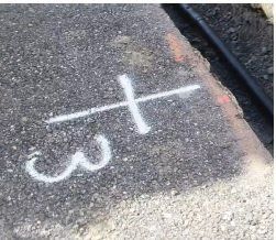
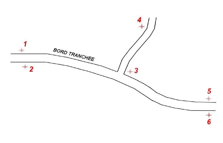
1 - ESTABLISHMENT OF GROUND TEST POINTS

shoulder and green space.
positioned at the right of the search and stay visible and accessible all along the site.
On a capture socket (A capture sequence = a working day), the number of markers
must be at minimum of three
in order to recalibrate the 3D model.

2-TAKING PICTURES BEFORE REPLACING THE SEARCH

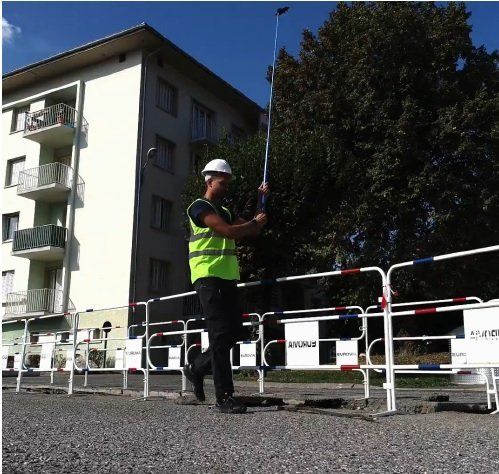
A - Shooting: Realization of shooting on site before backfilling of the excavation by photos. Provision by VR3D RESO of a retractable boom with smartphone support.
Patent pending INPI
B - Security on the acquisition:
The capture will be done outside the markup to ensure a good performance of the service.
C - Height of the pole:
Thanks to our retractable boom system, each photo allows the acquisition of approximately 15m² on the ground
3 - DATA TRANSMISSION VIA RESO VR3D APPLICATION
A - Automated photo shooting
:
The VR3D RESO application facilitates the entire capture thanks to its automated photo taking system
B - Automatic download:
Once all the capture done, the transfer of photos is automatically via our Cloud VR3D internet platform.
C - Securing data and saving time:
The operator on site no longer has to worry about the transfer of photos on the platform.

4 - MILITARY POINTS RECORDED BY A CERTIFIED COMPANY

A - Certified service provider:All on-site benchmarks will need to be surveyed by a certified provider in order to recalibrate the 3D model in a coordinate system.
B - Rendering precision:
Thanks to this technique, all the calibration points make it possible to readjust and verify the capture made by the operator on site.
C - Statement of points:The points are taken back at the end of the construction site once excavation work has been completed by the company
5 - DELIVERABLES TRANSMITTED BY VR3D RESO COMPANY
A-DELIVERABLE FROM A GEOREFERENCED ORTHOPHOTOPLAN
We provide each deliverable with a georeferenced orthophotoplan in JPEG format allowing customers to use it in their GIS.


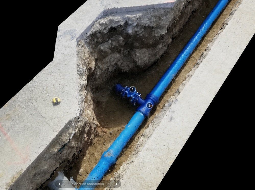
B- DELIVERABLE FROM A CLOUD OF POINT GEOREFERENCE
The georeferenced point cloud makes it possible to better visualize the whole excavation and facilitates the attachments thanks to the measurements of the elements present in the excavation.
C- DELIVERABLE OF A VECTORIZED TOPOGRAPHIC PLAN
The deliverable in DWG vectorized format allows to deliver to the customer a topographic plan of quality with the vectorization of the whole site. Implantation of all the points of reference, crossing of obstacle, parallel obstacle and trench cubature.


